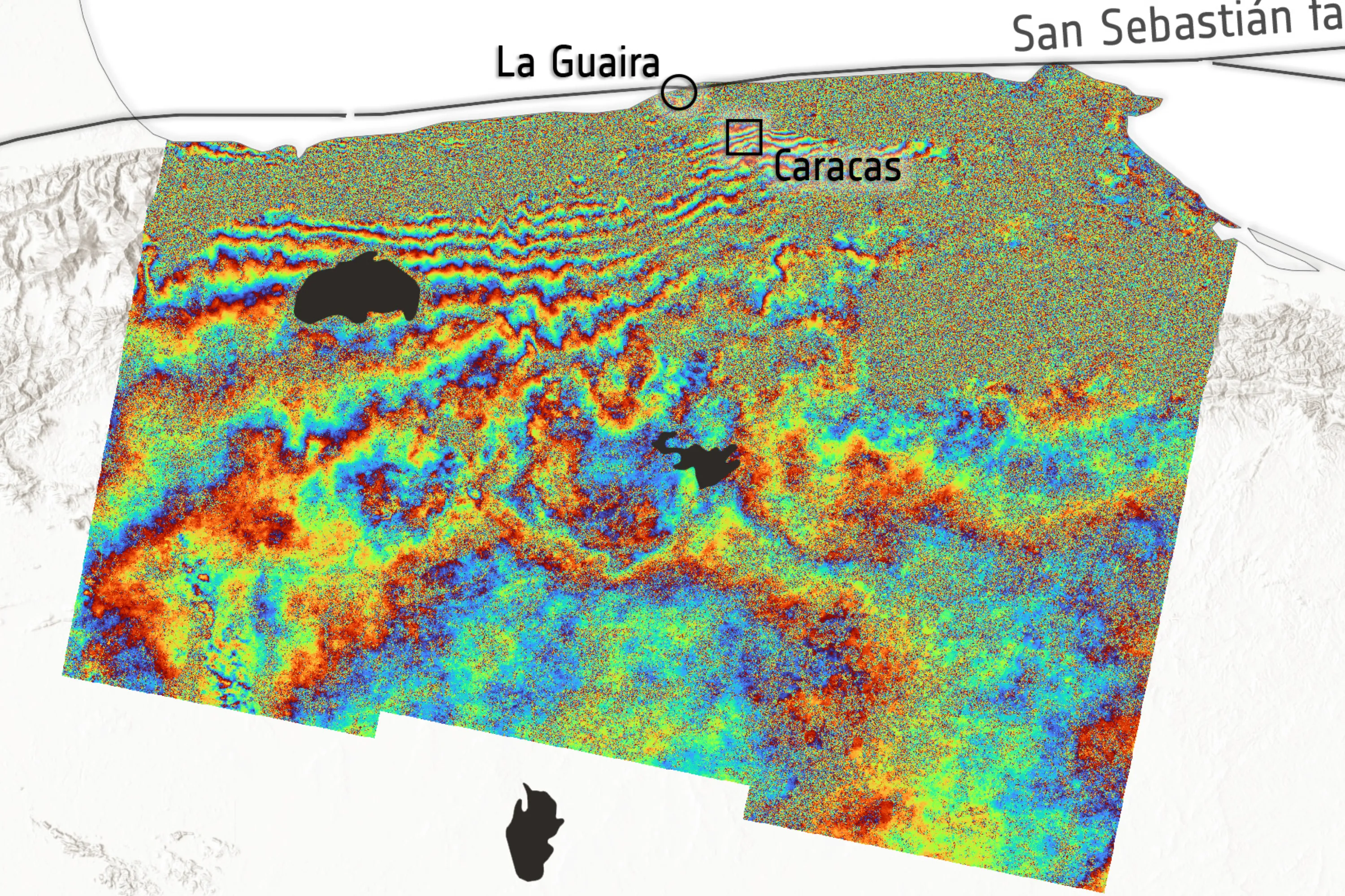
New satellite imagery, utilizing space laser technology, is providing detailed insights into the terrain shifts caused by recent earthquakes in Venezuela. The data reveals significant changes to the Earth’s crust following the twin quakes.
The new imagery demonstrates how much terrain has shifted in the wake of the twin quakes. According to Wired, this advanced imaging technique offers a precise look at the geological impact of seismic events.
The technology employed uses space-based lasers to map changes in elevation and surface features with remarkable accuracy. This allows scientists to understand not just where the ground moved, but *how* it moved, providing crucial data for assessing future risks and understanding plate tectonics.
We don't rate truth. We strip the spin and show you which perspectives covered the story. You decide.
Read the original coverage
💬 Comments
📜 Comment Policy