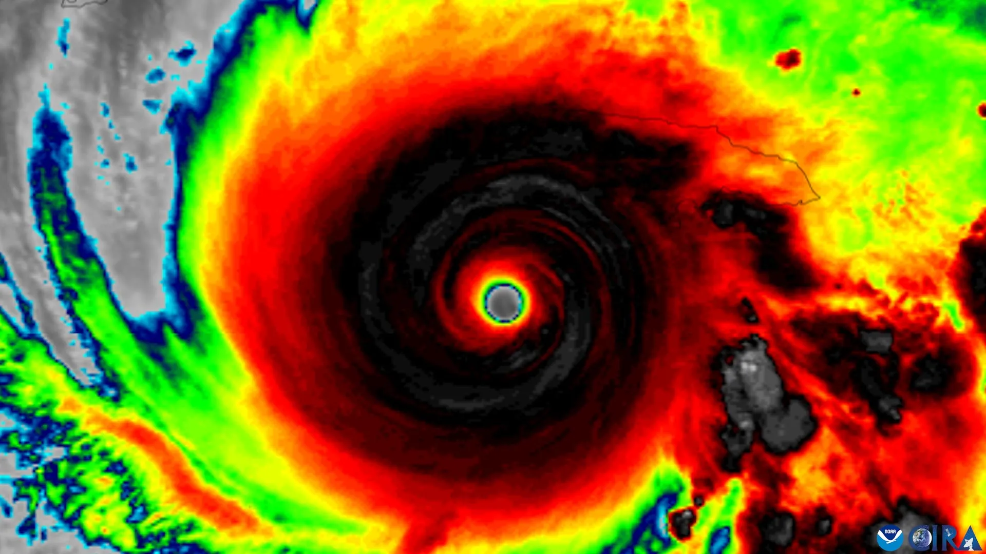
Researchers at the University of Miami Rosenstiel School of Marine, Atmospheric, and Earth Science, working with NOAA, have identified four features observed via Hurricane Hunter aircraft that indicate a tilted tropical cyclone is likely to align vertically and rapidly strengthen. The findings, based on nearly three decades of data, could provide forecasters with earlier warnings about intensifying storms.
Nearly three decades of observations from NOAA Hurricane Hunter aircraft were used in the study. Scientists determined that tropical cyclones must become vertically organized, with rotating centers at different atmospheric levels aligned, before significant strengthening can occur. Strong winds aloft can tilt a storm’s circulation, hindering intensification until the centers realign.
Michael S. Fischer, assistant professor in the Department of Atmospheric Sciences at the Rosenstiel School, explained, “A tropical cyclone has to stand up straight before it can intensify.” He further noted that strong winds higher in the atmosphere can push the top of a storm’s circulation away from the center near the ocean surface.
The research team identified four characteristics that suggest a tilted tropical cyclone will straighten. These include a compact, tightly organized circulation near the ocean surface; a storm tilt positioned favorably relative to vertical wind shear; stronger rising air and heavier rainfall near the storm’s lower-level center; and an environment with warm ocean water, ample atmospheric moisture, and relatively weak mid-level winds. Understanding this transition is important because rapidly intensifying storms leave coastal communities and emergency managers limited time to prepare.
According to researchers, if forecasters can earlier recognize when a disorganized tropical cyclone is becoming more favorable for strengthening, communities may have additional time for evacuation decisions and other preparations.
Read the original coverage
💬 Comments
📜 Comment Policy