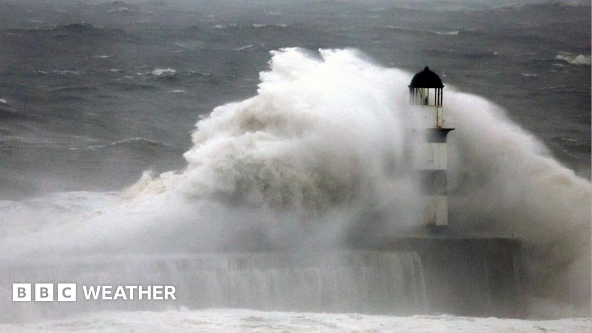
The UK is set to experience a second storm in as many days, with Storm Boelo arriving on Saturday following Storm Austen’s impact on southwest England on Friday. The Met Office has issued an amber wind warning for Cornwall, the Isles of Scilly, Plymouth, and parts of Devon, forecasting gusts of 60-70mph, potentially reaching 80mph in exposed areas. These winds pose a risk of transport disruption, power cuts, and potential building damage. Yellow wind warnings are in place for most of England and Wales, with gusts of 45-60mph, and up to 70mph in some locations.
While the strongest winds of Storm Austen will affect southwest England, north-west France and the Channel Islands are expected to bear the brunt of the storm, with gusts potentially reaching 90mph and 80mph respectively, leading to ferry cancellations. Scotland may experience localized flooding due to 20-40mm of rain, with up to 80mm possible in some areas.
Storm Boelo is expected to bring wet and windy conditions across the UK on Saturday, with the strongest winds moving into Scotland overnight. Yellow wind warnings are also in effect for Scotland, Northern Ireland, and northern England, forecasting gusts of 50-65mph, potentially reaching 80mph in exposed locations. The combination of strong winds and recent wet weather increases the risk of localized flooding.
The Met Office notes that storms arriving in quick succession are not unusual, often occurring when a strong jet stream creates temperature contrasts over the Atlantic, fostering the development of low-pressure systems.
Our reading is that the UK is facing a period of heightened weather-related disruption, with storms arriving in close proximity. The differing levels of detail in reporting, specifically regarding rainfall amounts and regional impacts, suggests a focus on either broad national warnings or localized effects. The article highlights the potential for significant disruption, but frames the succession of storms as a relatively normal meteorological pattern.
Read the original coverage
💬 Comments
📜 Comment Policy