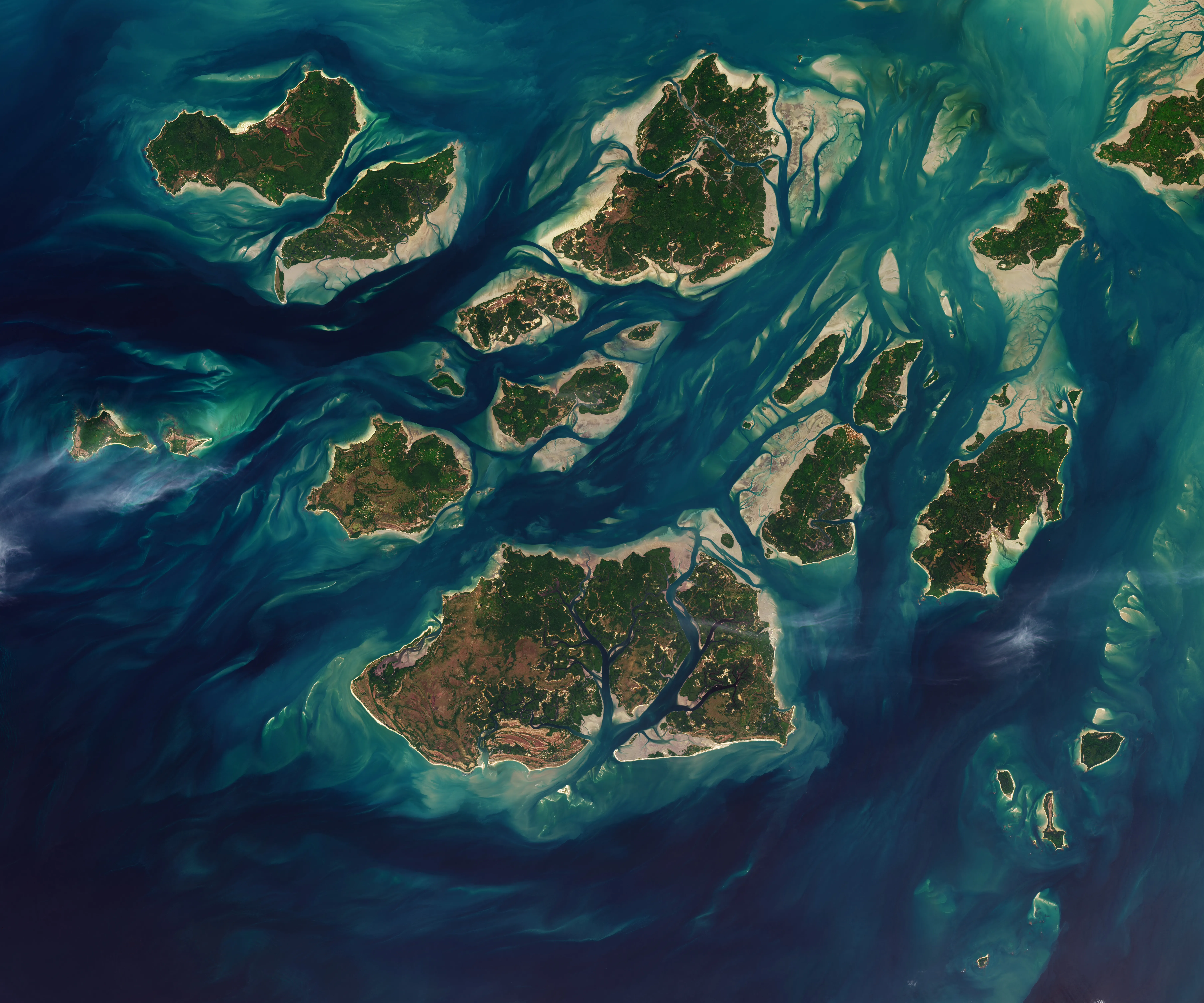
A recent NASA image captured on November 28, 2025, reveals the dramatic tidal changes occurring within the Bijagós Archipelago of Guinea-Bissau. The archipelago, comprised of 88 islands and islets, experiences significant shifts in its landscape due to twice-daily tides.
The image showcases how tides ebb and flow through a complex network of sandy channels, mudflats, and mangrove forests surrounding the islands. Around low tide, intertidal mudflats and sandflats become visible, dramatically altering the appearance of the coastline. This process leads to stark changes in the landscape as water recedes.
The Bijagós Archipelago (Arquipélago dos Bijagós in Portuguese) is particularly defined by these tidal patterns. The NASA image provides a visual representation of this natural phenomenon and how it shapes the environment of the region.
We don't rate truth. We strip the spin and show you which perspectives covered the story. You decide.
Read the original coverage
💬 Comments
📜 Comment Policy