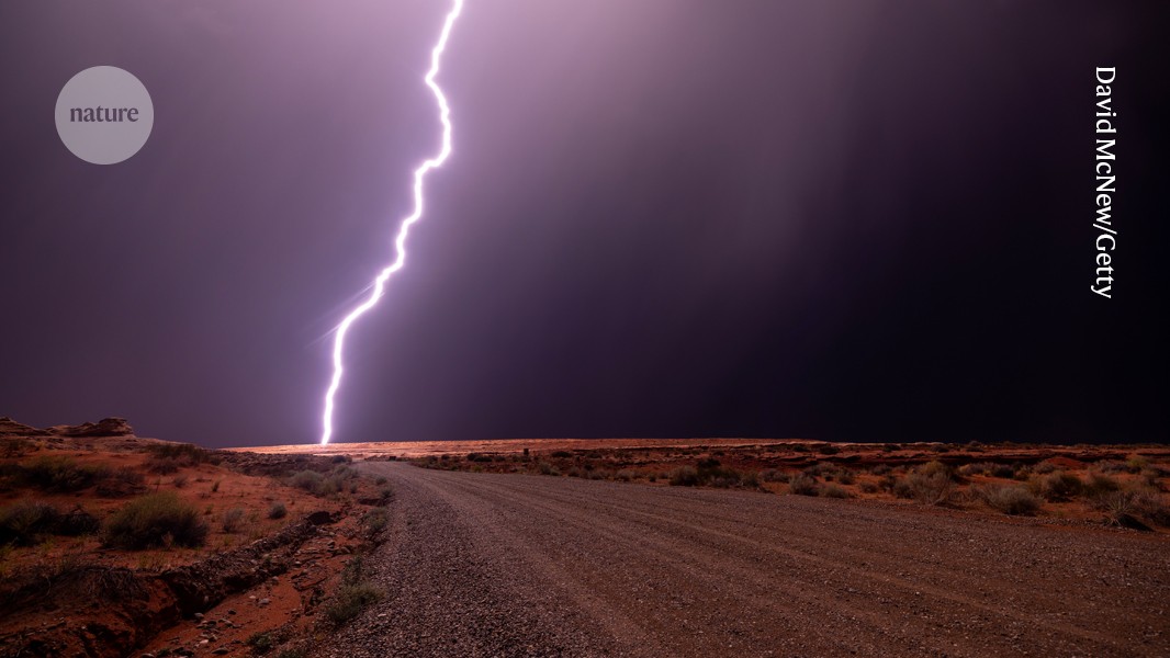
Seismologists have utilized a unique ‘thunderquake’ to survey geological features in an area with limited seismic activity. The research, published in *Nature* on August 21, 2026, demonstrates a novel approach to understanding subsurface structures.
Researchers measured the varying speeds of a ‘thunderquake’ – a powerful, localized seismic event – to gain insights into the geology beneath the surface. The study focused on an area characterized by low levels of typical seismic activity, making traditional methods less effective. By analyzing how the thunderquake’s waves travel through different rock layers, the team was able to create a detailed picture of the underground landscape.
The *Nature* article, with a doi of 10.1038/d41586-026-02596-0, details the methodology and findings of this innovative research. The use of a thunderquake, rather than a conventional earthquake or controlled source, offered a distinct advantage in this particular geological setting. The varying speeds of the seismic waves provided crucial data for mapping subsurface features and understanding the composition of the earth's crust.
Read the original coverage
💬 Comments
📜 Comment Policy