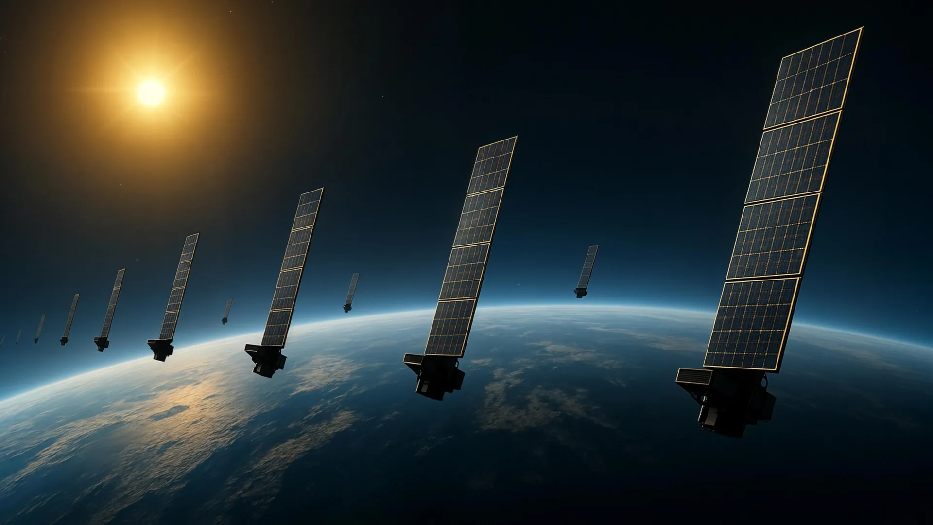
Researchers have developed a novel method for mapping the Earth's upper atmosphere using data from SpaceX’s Starlink satellites. The approach leverages the network of approximately 1,200 orbiting spacecraft to reconstruct changes in atmospheric density around 500 kilometers above Earth.
The project aims to address the challenge of observing this region of the upper atmosphere, which is traditionally difficult to study. By analyzing data collected from the Starlink constellation, scientists were able to map variations in atmospheric density. This reconstruction provides valuable insights into a layer of the atmosphere that impacts satellite tracking and orbital safety.
The research could significantly improve the accuracy of satellite tracking and help mitigate the increasing risk of collisions in Earth’s orbit. As more satellites are launched, the potential for dangerous encounters rises, making precise tracking essential. The new method offers a potentially cost-effective way to enhance these capabilities.
We don't rate truth. We strip the spin and show you which perspectives covered the story. You decide.
Read the original coverage
💬 Comments
📜 Comment Policy