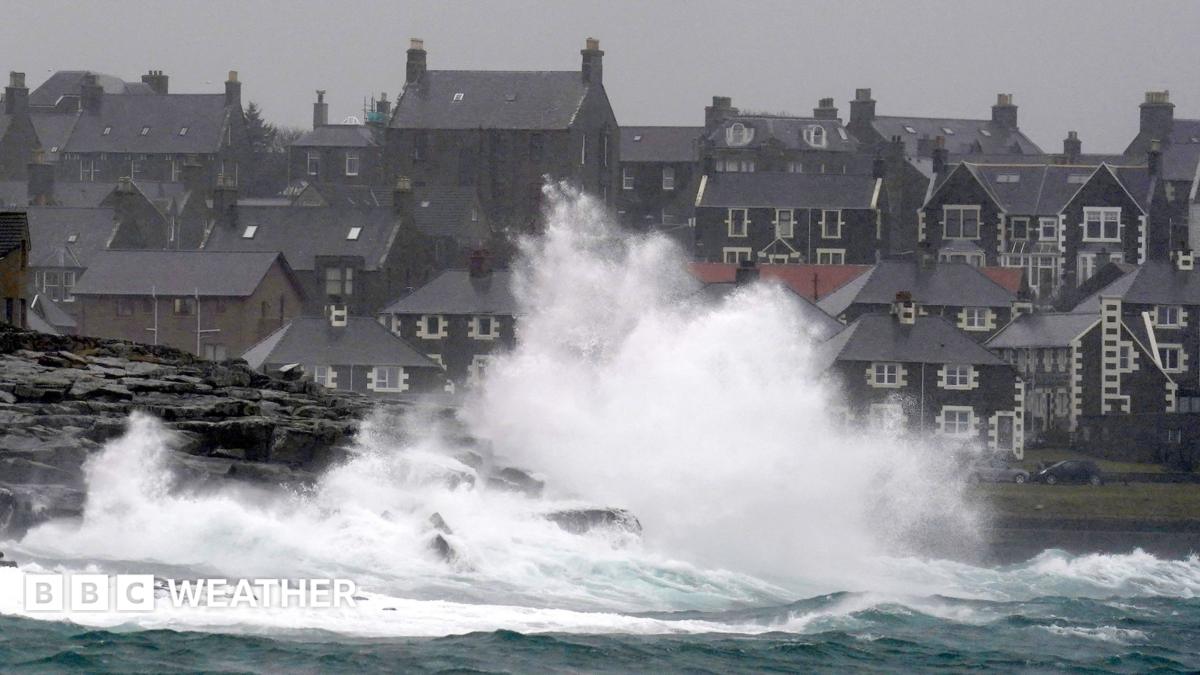
The remnants of Hurricane Isaias are forecast to bring gales, heavy rain, and a surge of warm air to parts of the UK this week. A Met Office yellow warning is in effect for parts of the Scottish Highlands and Western Isles from 10:00 to 19:00 BST on Wednesday, with gusts potentially reaching 70mph (113km/h) in exposed areas. The low-pressure system, which underwent what meteorologists describe as explosive cyclogenesis, will steer the strongest winds toward the far northwest of Scotland, potentially disrupting rail, air, and ferry transport, as well as causing short-term power cuts. While the center of the storm will pass hundreds of miles north of the UK, a renewed surge of warm air is expected to bring above-average temperatures, peaking at 20C in some locations in southern England.
The system originated as Hurricane Isaias, which made landfall in the southern United States last Friday before weakening and its remnants being swept up by a powerful jet stream. Sailings on several Calmac ferry routes have been cancelled or disrupted, and speed restrictions are expected on the West Highland Line between Fort William and Mallaig. Outside the warning area, Shetland is anticipated to see 50mph gusts, and 40mph gusts are possible in other parts of Scotland, Northern Ireland, northern England, and north-west Wales.
Heavy rain is expected across Scotland and Northern Ireland, with some patchy rain potentially spreading into northwest England and north Wales. Most of England and Wales are expected to remain largely dry with sunny spells. The warm weather is set to linger on Thursday, with East Anglia potentially reaching highs of 22C, before chillier and wetter conditions arrive on Friday and into the weekend, returning temperatures to the seasonal norm.
Our reading is that the UK is experiencing a secondary impact from a North American weather event, with the remnants of Hurricane Isaias now posing a threat after causing significant disruption in the United States. While the storm’s direct impact on the UK is expected to be limited to specific regions, the combination of gales, heavy rain, and a surge in warm air represents a notable shift in weather patterns. The differing emphases of news outlets, some focusing on travel disruptions, others on the meteorological process, suggest a fragmented public understanding of the event’s scope and potential consequences.
Read the original coverage
💬 Comments
📜 Comment Policy