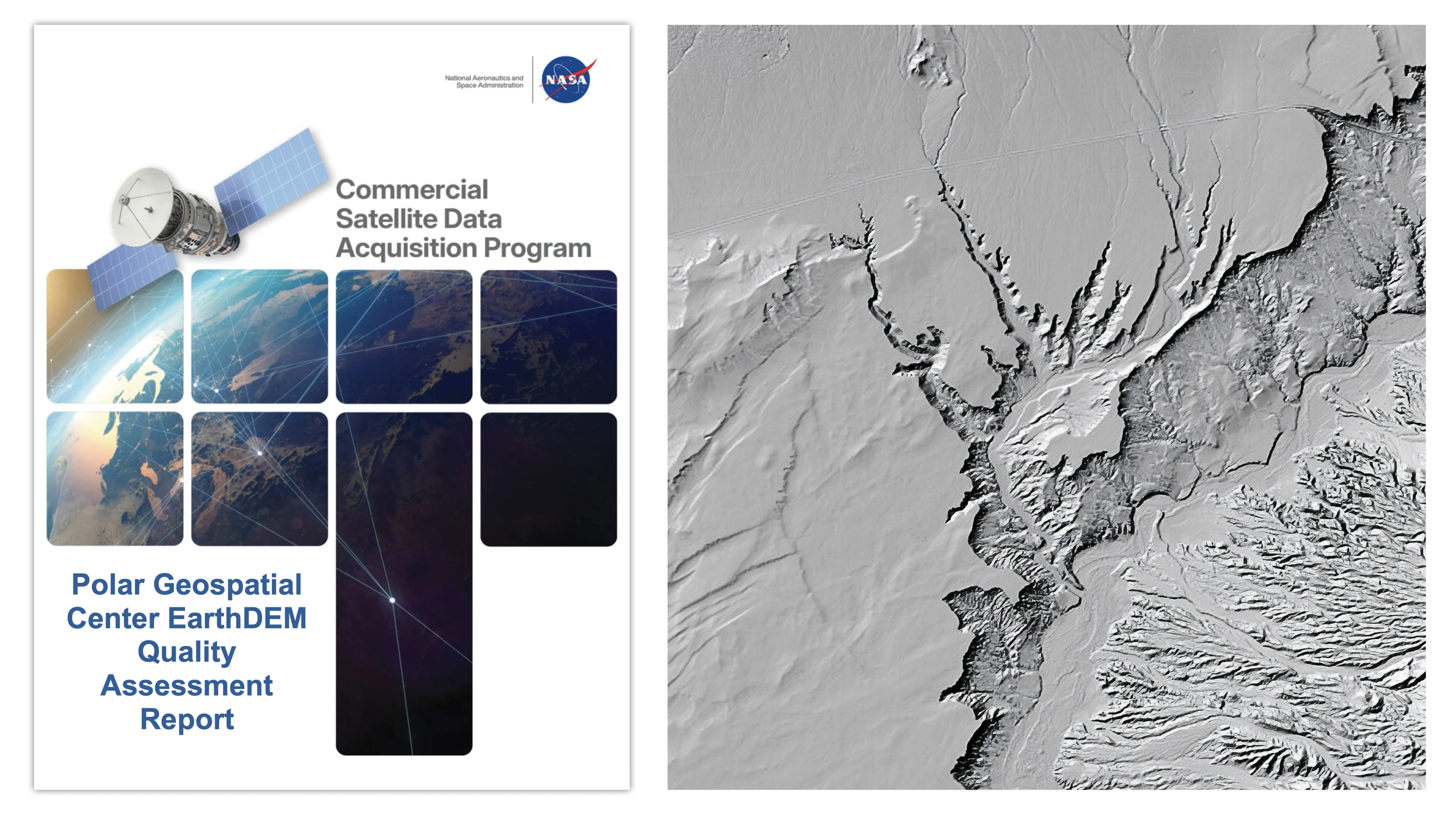
The NASA Commercial SmallSat Data Acquisition (CSDA) program’s assessment reports evaluate the quality of commercial Digital Elevation Models (DEMs). A recent report focuses on EarthDEM elevation products from the Polar Geospatial Center.
The CSDA program helps inform the user community about the quality of commercially available DEMs. These models are crucial for a variety of applications, including mapping, surveying, and disaster response. The latest assessment specifically evaluates the EarthDEM data produced by the Polar Geospatial Center.
According to NASA, these reports are designed to provide users with critical information regarding the accuracy and reliability of different DEM products. This allows them to make informed decisions about which datasets best suit their specific needs. The program’s evaluation process involves rigorous testing and analysis of the data's characteristics.
We don't rate truth. We strip the spin and show you which perspectives covered the story. You decide.
Read the original coverage
💬 Comments
📜 Comment Policy