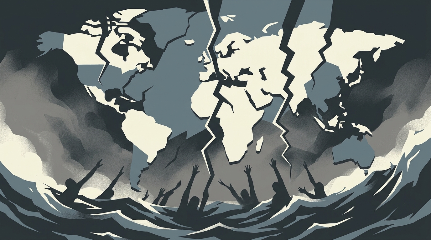
A magnitude 7.8 earthquake struck off the coast of Mindanao in the southern Philippines early Monday morning, prompting tsunami warnings across the region and causing structural damage in coastal areas. According to the German Research Centre for Geosciences (GFZ), the seismic event occurred at a depth of 10 kilometers. It is recorded as the strongest earthquake to affect the country this year.
The quake centered at sea generated significant ground motion that resulted in building collapses and widespread power outages in a key coastal city located south of General Santos. Officials reported that at least three individuals were killed by collapsing structures in the Philippines. Additional reporting indicates that four people have died and 200 others sustained injuries as a result of the seismic activity. The damage to infrastructure has disrupted local utilities, with power lines knocked down across affected neighborhoods. Emergency crews are working to restore electricity and assess the extent of structural failures in the impacted municipalities.
Following the initial tremors, authorities in the Philippines and Indonesia issued tsunami warnings for coastal areas. Officials in Japan also advised residents to monitor conditions for potential wave activity. Regional forecasts indicated that tsunami waves were possible across multiple locations, including the Philippines, Taiwan, Japan, Guam, Papua New Guinea, and several other island nations and territories. Along nearby coasts, officials confirmed that 1-meter (3-foot) tsunami waves were observed. The alerts covered both immediate coastal zones and broader regional waters as monitoring agencies tracked the event's impact on maritime infrastructure and coastal communities.
In response to the threat, Philippine authorities directed residents in affected coastal regions to relocate to higher ground. Reports from the area noted that locals moved to elevated areas as a precautionary measure against potential flooding. The seismic event underscores the region's geological vulnerability, as the Philippines is frequently subject to earthquakes and volcanic eruptions due to its location along tectonic boundaries. Emergency response teams and local governments continue to assess damage in the affected provinces. Authorities are coordinating with regional agencies to monitor water levels and provide updates on infrastructure repairs and casualty counts. Residents in coastal zones remain under advisory as officials evaluate the likelihood of additional seismic activity or aftershocks.
The offshore epicenter was located south of General Santos, placing several coastal municipalities in the immediate impact zone. Seismologists noted that the depth of the quake contributed to the intensity of surface shaking, which registered as a major seismic event across southern Luzon and Mindanao. Tsunami monitoring networks were activated immediately following the tremor, with coastal buoys and tide gauges measuring wave heights. Authorities emphasized that while initial waves reached approximately 1 meter, conditions could change as the tsunami watch extended to neighboring Pacific territories.
Read the original coverage
💬 Comments
📜 Comment Policy