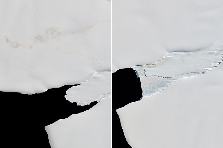
NASA is leveraging decades of Landsat satellite imagery to understand how emperor penguins have historically responded to disruptions in sea ice. The research aims to provide clues about the birds’ resilience and potential future vulnerability in a changing climate.
Experts are analyzing images collected over many years by Landsat satellites. The focus of the analysis is to determine how the iconic emperor penguins have reacted to past changes in sea ice conditions. The study doesn’t specify a timeframe for the data being analyzed, only that it spans ‘decades.’
The core of the research is to understand *why* the penguins have been affected by sea ice changes. By examining historical data, researchers hope to gain insights into the birds’ adaptability and how they might cope with ongoing and future environmental shifts. NASA states the analysis is for “clues about how the iconic birds have responded to sea ice disruptions in the past.”
The study does not detail specific findings or predictions, but rather outlines the methodology being employed. The use of long-term satellite data allows for a broad perspective on penguin populations and their relationship to the sea ice environment, offering a baseline for assessing current and future impacts.
मूल कवरेज पढ़ें
💬 टिप्पणियाँ
📜 टिप्पणी नीति