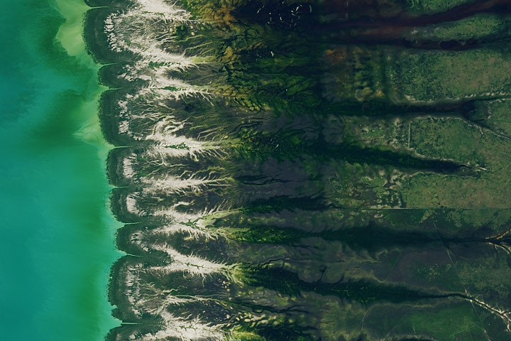
NASA is challenging the public to identify the location depicted in a satellite image and explain its significance. The challenge, dubbed "August 2026 Satellite Puzzler," invites individuals to analyze the imagery and submit their findings.
The space agency posted the puzzle on its website, seeking assistance from citizen scientists and enthusiasts. According to NASA, “Your challenge is to tell us the location of the satellite image and why it is interesting.
The purpose of this exercise appears to be engaging the public with remote sensing data and encouraging observation skills. NASA frequently releases imagery captured by its various satellites, often highlighting Earth science discoveries or changes to our planet. This particular challenge focuses on leveraging collective intelligence to pinpoint a location and understand what makes it noteworthy.
We don't rate truth. We strip the spin and show you which perspectives covered the story. You decide.
Read the original coverage
💬 Comments
📜 Comment Policy