Dense Fog Disrupts Travel Across UK, Yellow Warnings in Effect
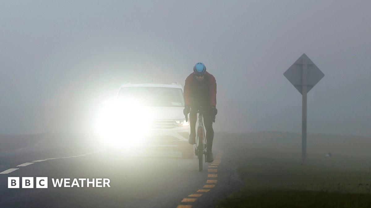
Dense fog is causing significant travel disruption across much of the UK on Monday morning, with the Met Office issuing yellow warnings for England, Wales, and Northern Ireland. Visibility could fall to less than 50 meters in places, impacting road, rail, air, and ferry services. The fog formed due to a large area of high pressure, falling overnight temperatures between 3 and 5C, and light winds, creating conditions ideal for moisture to condense. Heathrow Airport has advised passengers to allow extra time for their journeys. The fog is expected to lift slowly throughout the morning, though some patches may linger into the afternoon, particularly in central England and Wales. On Saturday night, the fog contributed to a 30-car pile-up on the M20 in Kent, leaving two people seriously injured, and a 19-car collision on the A303 in Hampshire. Niamh Murray, a Met Office operational meteorologist, explained that the current conditions represent a ‘perfect recipe’ for fog formation, with long nights, clear skies, and light winds allowing temperatures to drop and saturation to occur. Temperatures are expected to drop to freezing in parts of Scotland overnight, and as low as 2C in Peterborough. Commuters are also experiencing chilly temperatures, with ground frost likely in many areas.
Where they differ
- The Independent noted the fog warning was in place from 6pm on Sunday, while the BBC did not specify the start time of the warning.
- The Independent reported temperatures could reach 8C in London and 5C in parts of Scotland, while the BBC did not provide specific temperature forecasts for those locations.
- The Independent included a five-day forecast, detailing conditions beyond Monday, which the BBC did not provide.
Background
- The UK experienced a period of intense storms, Austen and Boelo, in late October 2026, causing power outages and disruption [Fact Refinery, 2026-10-25].
- Dense fog was already a concern in parts of the UK in late October 2026, with the Met Office issuing warnings and forecasting continued foggy conditions [Fact Refinery, 2026-10-30].
- The UK was also experiencing drought conditions, with 82% of England in drought status and concerns about ongoing water shortages [Fact Refinery, 2026-10-30].
- High-pressure systems can contribute to the formation of fog by creating stable atmospheric conditions and allowing temperatures to drop [background knowledge].
Our reading
Our reading is that the current fog event, while disruptive in itself, appears to be a continuation of the unstable weather patterns affecting the UK. The combination of high pressure, falling temperatures, and light winds creates ideal conditions for fog formation, as previously observed in late October. The reports of multiple collisions highlight the serious risks posed by reduced visibility, and the differing details between news outlets suggest a dynamic situation where forecasts are being refined.
What to watch
- The extent to which the fog lifts throughout the morning and afternoon, particularly in central England and Wales, as predicted by the Met Office [Met Office website/social media].
- Reports of further travel disruptions, specifically delays or cancellations to flights, trains, and ferries, throughout the day [National Rail Enquiries, airline/ferry operator websites].
- Temperature readings overnight in Scotland and Peterborough to verify if they reach the forecasted freezing point and 2C respectively [Met Office website].
Read the original coverage
💬 Comments
📜 Comment Policy